Hiking
The hiking paths of Tazacorte are integrated in the network of hiking paths of La Palma.In addition,Tazacortehas several local trails that run through banana plantations and along beautiful parts of the village.
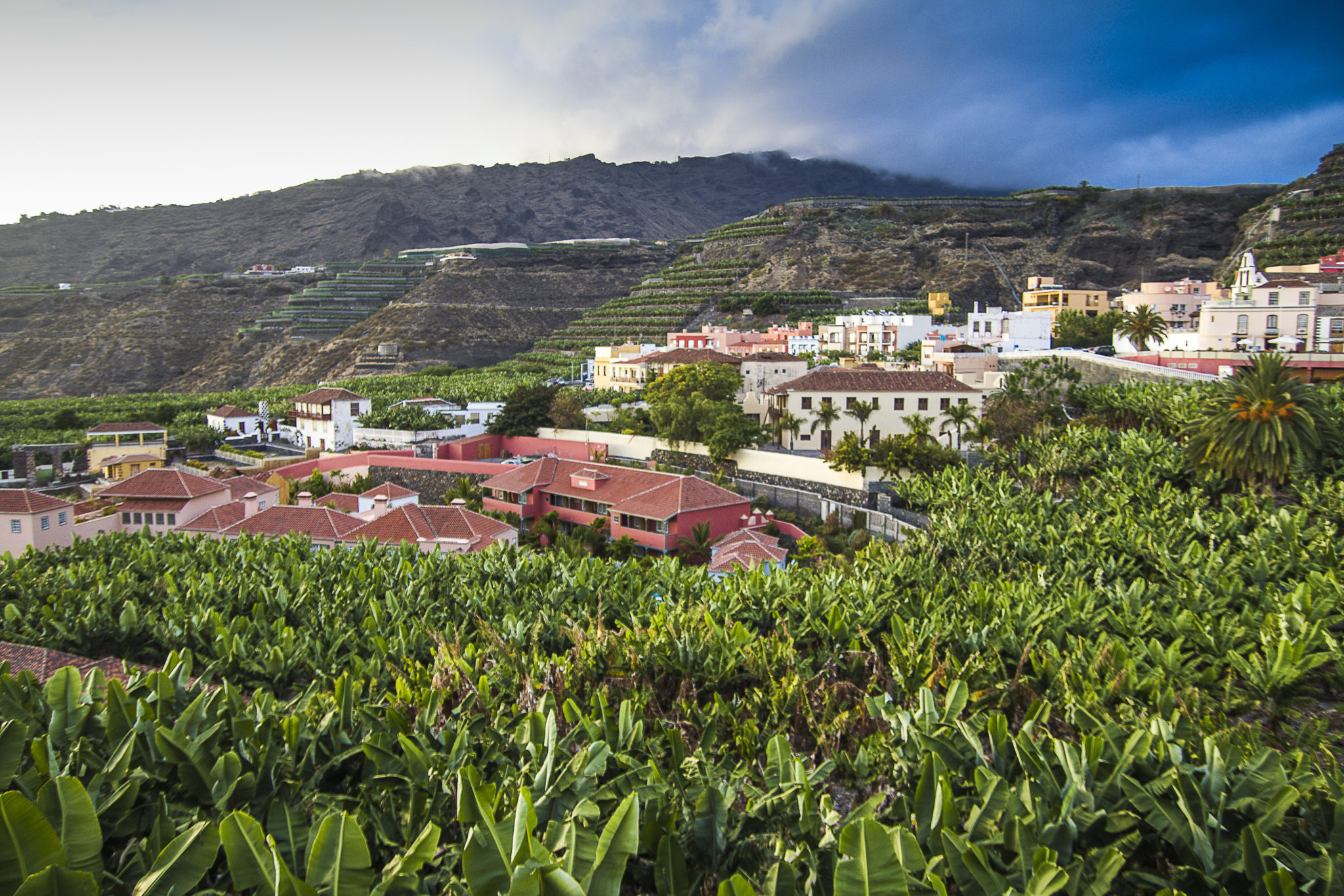
Trail GR 131
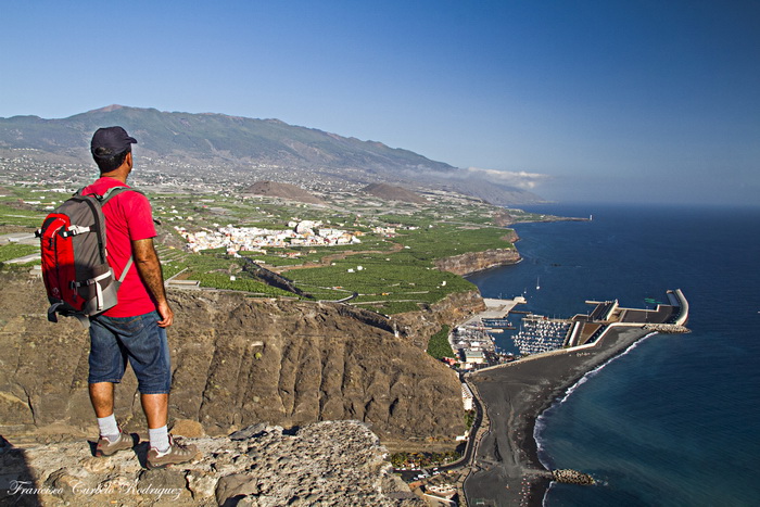
Puerto de Tazacorte (Muelle Viejo) – El Time- Roque de Los Muchachos – Distance: 23.6 kms. / Time: 10:45 hrs.
The GR131 trail from Puerto de Tazacorte to Roque de los Muchachos is one of the most used trails on the island and one of the main tourist attractions for visitors who come to the island for its hiking options.
The path was of great importance in the last five centuries since it facilitated communications between Puerto de Tazacorte and the north and northwest of the island, with a mainly commercial purpose. However, it is also possible that the path already existed in prehispanictimes, since it is the fastest way to reach from the coast of Tazacorte from El Time. The path passes some of the natural caves that were used as dwellings by the Benahoritas (the indigenous people of La Palma), as many inhabitants of Puerto de Tazacorte still do until this day.
Until a few years ago, there were people from the north and northwest of the island who came to Puerto de Tazacorte to fish at certain times of the year, during which they lived in the caves of the Time cliffs.
The caves also have a historical value as the Martyrs of Tazacorte enjoyed the hospitality of the people of these caves in the year 1570.
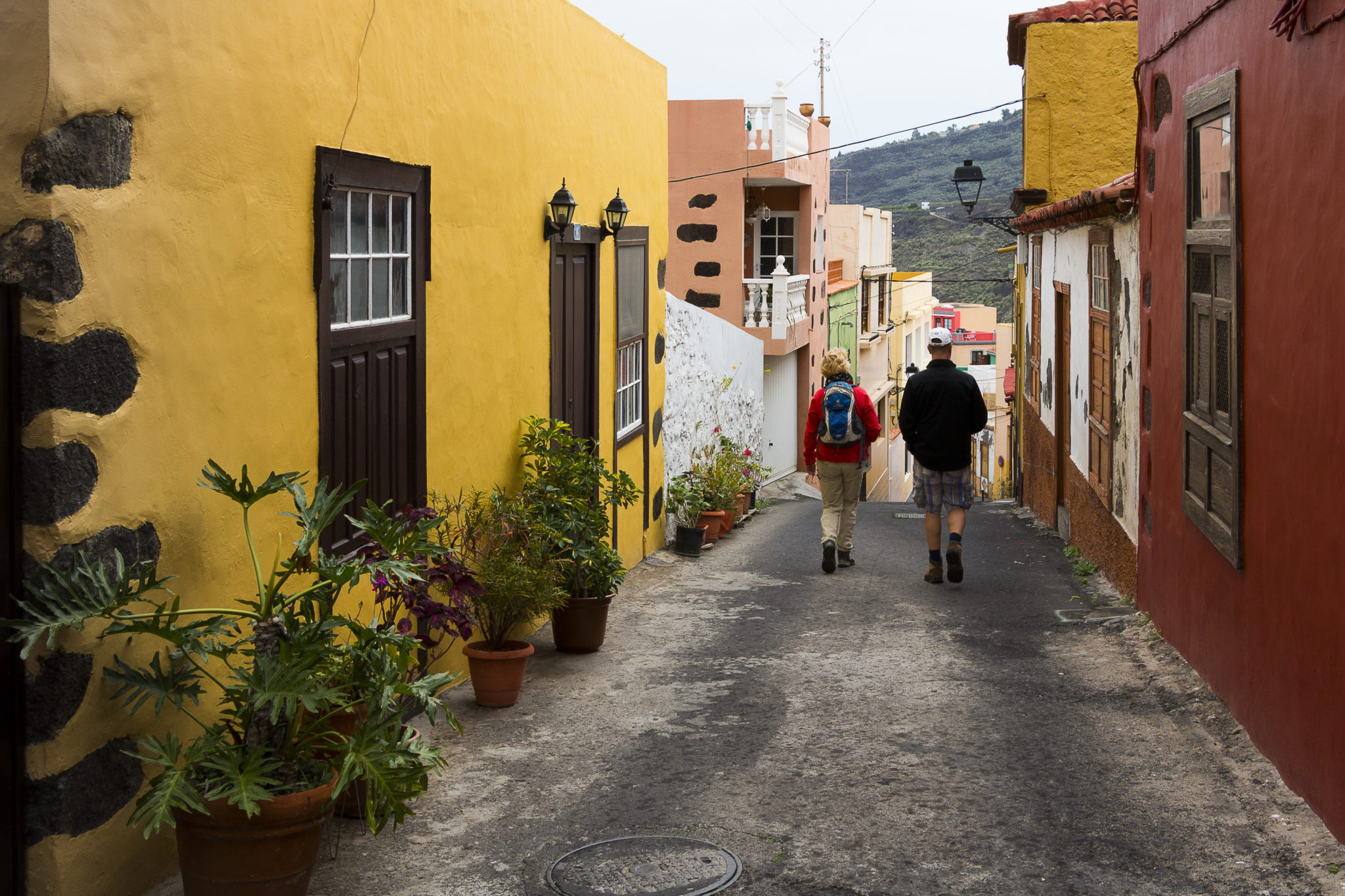
Trail PR LP 01
Santa Cruz de La Palma (Plaza de España) – Puerto de Tazacorte. Distance: 31.4 kms. / Time: 8:00 hrs.
This was the most travelled path of the island, being the former Royal Road that connected the east with the west of the island. From El Paso and until the end of the route, most of it is asphaltedsince it was used and converted into the main road for cars. Some stretches have a lot of car trafficwhich make ita little dangerous. The route crosses the historical centre of Tazacorte, passes the church of San Miguel and continues until Puerto de Tazacorte.
Route of the Romera
Distance: 1.4 kms. / Time: 0:15 hrs.
The Romera route begins on Simon Guadalupe Square. It is a narrow old path used by farmers and with a large variety of plants. Following the path you will cross the bridge of La Romera, deteriorated over time, after which you reach the curve of the Herradura, where this local trail ends, connecting it with trail PR LP 01, to Puerto de Tazacorte.
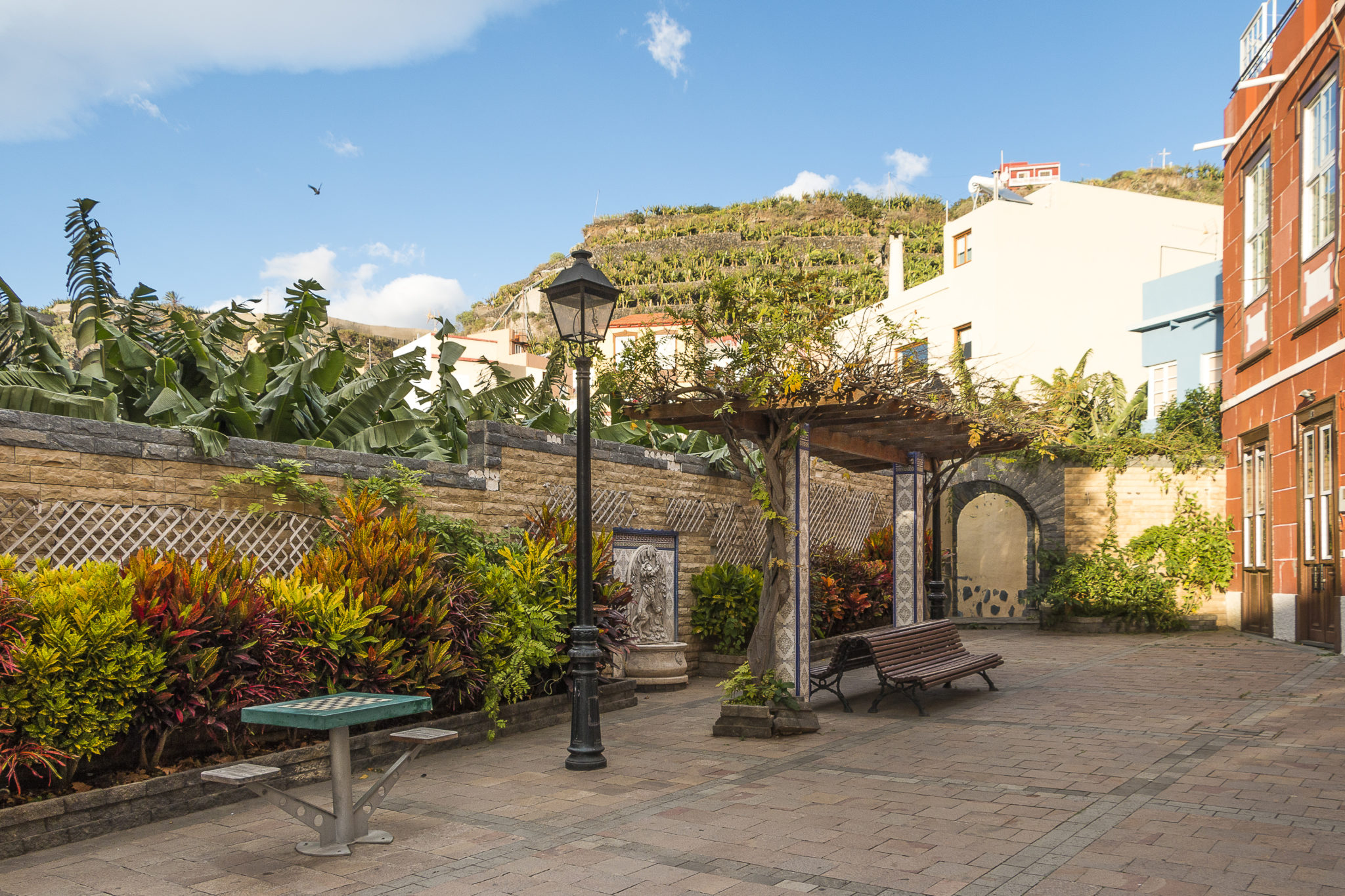
Route of the charco
Distancia: 1.9 kms. / Horas: 0:30 hrs.
El Charco is the oldest area of Tazacorte with old manor houses of beautiful architecture, such as Casa Massieu, the house of Admiral Diaz Pimienta and the house of the Monteverde family, also called House of the Martyrs. Here, you can also visit the Banana Museum, the only museum in Europe dedicated solely to bananas, the new Museum of Mojo and Coffee Liqueur, and the old ‘Lavadero’ (public laundry place). The path continues between banana plantations towards the coastal route that will eventually connect El Charco with San Borondón (currently under construction) where you can enjoy beautiful views of the coast of Tazacorte.

©Ayuntamiento de La Villa y Puerto de Tazacorte